


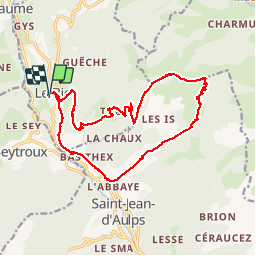

16.8 km | 29 km-effort


User


FREE GPS app for hiking
 SityTrail
IGN / Geographical institutes
SityTrail World
The world is yours!
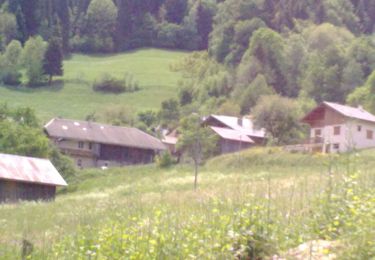
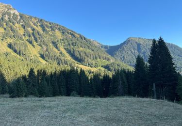
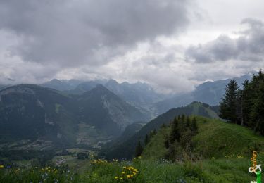
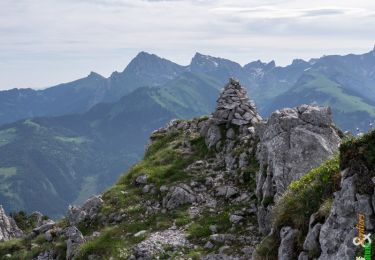
Trail Walking of 19.3 km to be discovered at Auvergne-Rhône-Alpes, Upper Savoy, Le Biot. This trail is proposed by thierry13710.
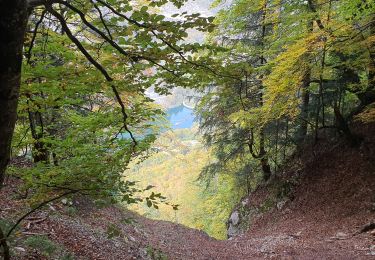
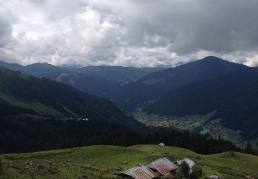
Beau circuit au départ du Biot avec l'ascension de la pointe de la Croix. Traversée de nombreux hameaux. Belle vue au sommet sur la vallée d'Abondance


Walking

Walking

On foot
Walking
Walking
Walking
Walking
Walking
Walking